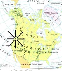
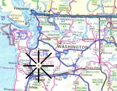
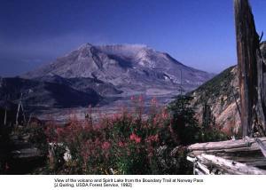
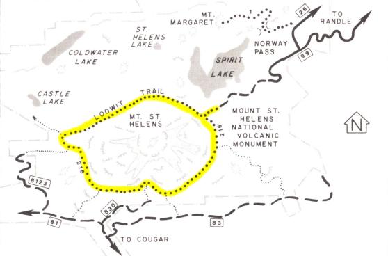
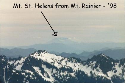
On May 18, 1980, Mount St. Helens erupted, devastating the long-standing natural beauty surrounding the mountain. During our trip to Washington in 1998, we stopped at the Mount St. Helens National Volcanic Mounument Visitor's Center, which is over 25 miles from the crater that was formed when the eruption occurred. We also got a view of the ash-covered peak from a hike we took at Mt Rainier (see picture at right). This will be our chance to get an up-close view of the volcano, by hiking completely around it (see map below).
-
"...After crossing over the mudflows in Sheep Canyon and the main Toutle River Valley, you'll enter the main blast zone. Devastation is the only thing to be found here. After the long hike around the still-beautiful forests on the south side of Mount St. Helens, you'll enter the wastelands in front of the crater, see the destruction that occurred and (because of your experience on the other side of the mountain) know the beauty that was lost...." - Pacific Northwest Hiking